Los efectos de Ike
Los efectos de Ike
-

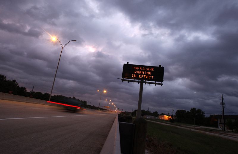
Dark clouds stretch across the skyline as Hurricane Ike approaches the Gulf of Mexico near Houston, Texas
13.09.2008Dark clouds stretch across the skyline as Hurricane Ike approaches the Gulf of Mexico near Houston, Texas September 12, 2008. Massive Hurricane Ike bore down on the Texas coast on Friday, driving a wall of water into seaside communities and threatening catastrophic damage. REUTERS/Carlos Barria (UNITED STATES)REUTERS/Carlos Barria -

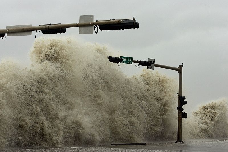
A wave breaks over a street sign as Hurricane Ike approaches Galveston
13.09.2008A wave breaks over a street sign as Hurricane Ike approaches Galveston, Texas September 12, 2008. Massive Hurricane Ike bore down on the Texas coast on Friday with a wall of water that threatened a potential catastrophe for the United States. REUTERS/Jessica Rinaldi (UNITED STATES)REUTERS/Jessica Rinaldi -

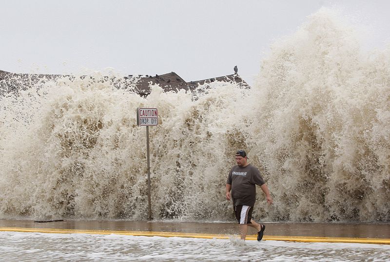
Spence, of Galveston, walks away from high swells caused by Hurricane Ike in Galveston
13.09.2008El ojo del huracán 'Ike', con lluvias y fortísimos vientos que azotan una amplia zona del sureste de Texas, ha tocado tierra a las 02.20 hora local (07.10 GMT) en la isla de Galveston, según el Centro Nacional de Huracanes (NHC).JR/ REUTERS
Últimas fotogalerías Noticias
Ver más


